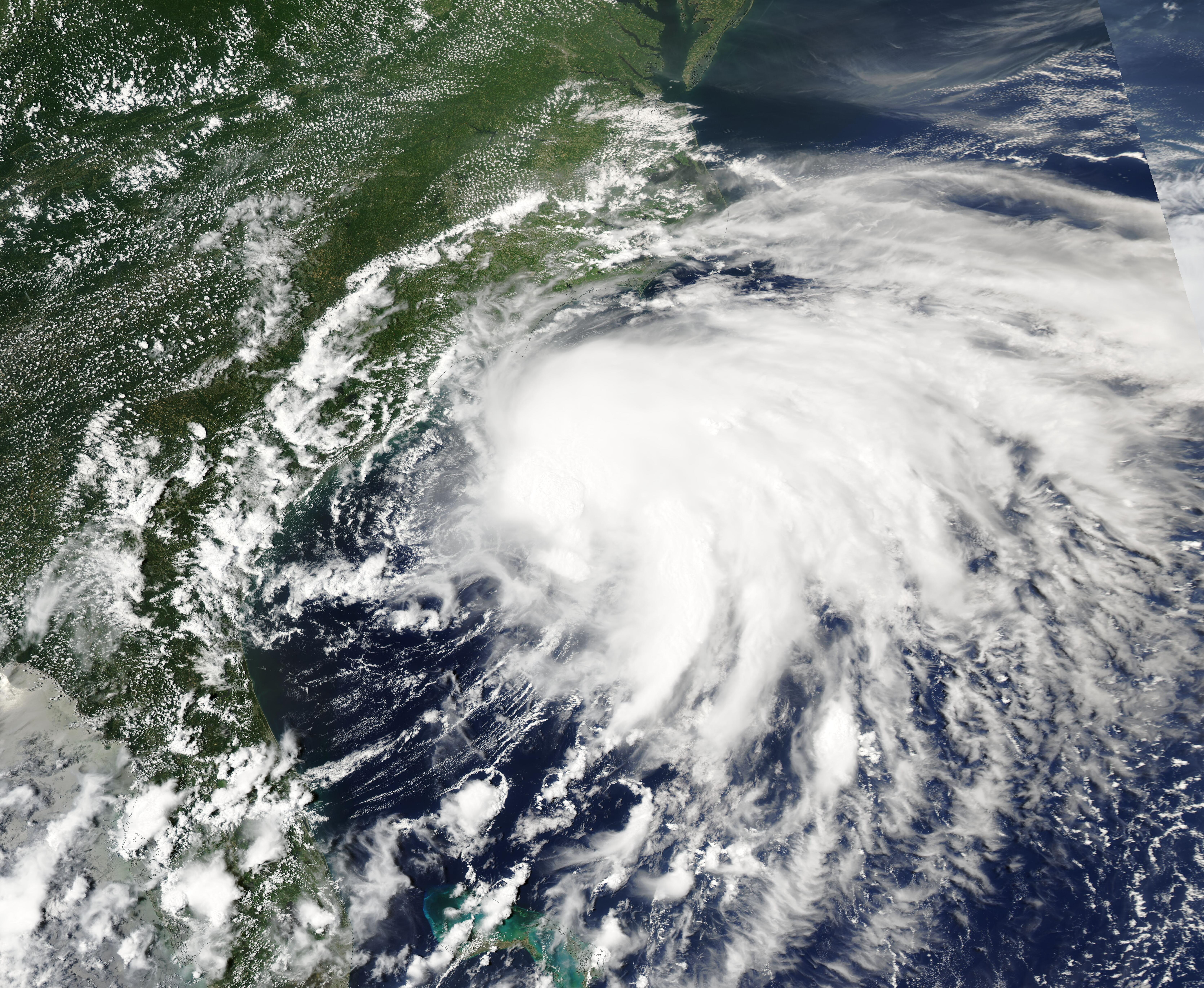
Hurricane Isaias strengthened to a Category 3 storm on Friday, Oct. 9. Its remnants are forecast to bring heavy rain, flash flooding and possible severe thunderstorms to Cherry Hill and South Jersey on Sunday, Oct. 11.
The National Weather Service's (NWS) Mount Holly office said Friday on X that the remnants will affect the region Sunday into Monday, with marginal risks of flash flooding, severe weather and minor tidal flooding.
Forecasters had been tracking the system since Thursday, Oct. 8, when it was still a tropical storm. It has since intensified. As of Friday morning, Isaias carried sustained winds of 120 mph, making it a major hurricane, the Courier-Post reported.
The storm is expected to make landfall along the Gulf Coast late Friday or early Saturday. Its remnants will then track northeast toward New Jersey.
What Cherry Hill can expect
The forecast calls for 1 to 2 inches of rain across the region, with totals above 2 inches possible in South Jersey. Heavy showers and thunderstorms could produce rainfall rates of 1 to 2 inches per hour, according to the National Weather Service as reported by NJ.com.
Most of New Jersey is under a marginal risk, the lowest level on a four-point scale, for excessive rainfall Sunday. South Jersey also faces a marginal risk for severe thunderstorms. FOX 29 reported that some storms could bring damaging winds and an isolated tornado.
Localized flash flooding is possible, particularly in areas already prone to flooding. Minor tidal flooding is a concern during Sunday and Monday high tides.
Rain is expected to begin Sunday and linger into early Monday before tapering off. Conditions should improve by Monday night and Tuesday.
First hurricane of 2026 season, but milder impact expected
Isaias is the first Atlantic hurricane of the 2026 season. It formed more than four months into the season, one day short of tying a 121-year-old record set in 1905, according to NJ.com.
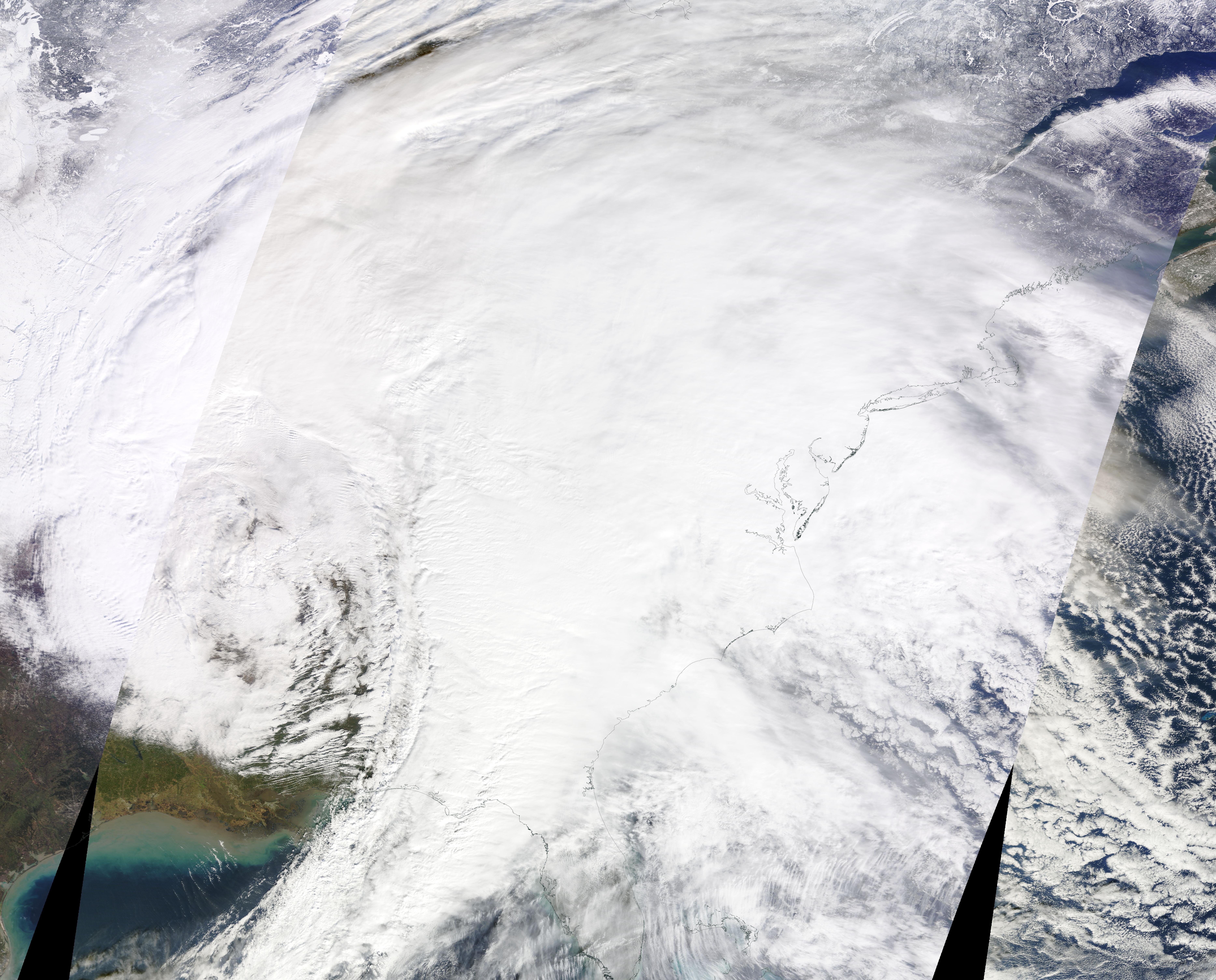
The National Oceanic and Atmospheric Administration (NOAA) had predicted a below-normal hurricane season. Forecasters expect the local impact to be milder than the recent nor'easter that brought heavy flooding and widespread power outages to South Jersey, the Courier-Post reported.
No tropical watches or warnings are in effect for the Northeast or Mid-Atlantic.
Residents in flood-prone areas should monitor the NWS Mount Holly office and Cherry Hill's Office of Emergency Management for updates ahead of Sunday.